
Smart City Origins
A team of computer programmers sort through reams of recently digitised and centralised data from the US Census Bureau, the Los Angeles Police Department, the LA County Assessor, and various of public and private data sources. So far, they have classified 220 data categories, forming the core of a massive database on the ins and outs of daily life for LA’s ever-expanding and diverse population.
The programmers are working against time to solve pressing issues for the booming city: alleviating poverty, stopping blight in its tracks, and effectively directing city resources to urban renewal efforts.
To combat the ever-growing challenge of urban sprawl and decay — the US Census Bureau had thrown the towel in about a decade ago, citing human error resulting in inconsistent data — the elite team of programmers, many recruited from the aerospace industry, were experimenting with a radical new solution: using computerised data to uncover patterns and commonalities in city neighbourhoods that door-to-door surveys have proven incapable of detecting. If successful, this data would become the centrepiece of the city’s new approach to planning and budgeting responses to its urban dilemma.
It is the late 1960’s in Los Angeles, and Mayor Sam Yorty has just established the Community Analysis Bureau to “to launch a community analysis program that would perform ‘a comprehensive analysis of the entire city’ in order to ‘prevent further inroads of a physical, economic, and social nature which contribute to… obsolescence.’” And the city’s data would lie at the heart of that mission.
Backed by extensive city data and boundary-breaking technological know-how, the team at the Community Analysis Bureau pioneered a new approach to data analysis: deploying a “cluster analysis” that would enable to data to “suggest its own natural grouping.” Using the cluster approach, the team of programmers identified sixty-six data types that cross-cut traditional geographic parameters, augmenting location data with social data such as ethnicity, education, housing and crime data.
Viewed through a lens of data clusters, the team was suddenly able detect common patterns, even among geographically and socio-economically distinct neighbourhoods. Ultimately, the team identified thirty “clusters” that defined life in Los Angeles.
Cluster 2 … was “The Singles of Los Angeles.” It contained “a very young population with an average age of thirty-three, living in high-density new apartment buildings.” Seven of the nineteen census tracts in this cluster were located adjacent to one another in West Los Angeles and Brentwood. Other tracts with similar young, single, apartment dwellers were found in Palms, Baldwin Hills, Del Ray Palisades, Hollywood, and Bunker Hill.
Armed with these insights, the team constructed an “Integrated Urban Information System” they like to call the “thermostat” of the city. The thermostat would “sample changes in data… and, based these measurements, or studies, make recommendations to operating and staff agencies in the city…”
The first report published by the team including recommendations on “raising family incomes…, placing all needy three-to-four-year-olds into preschool, and spurring the construction of 7,000 to 9,000 low-to-moderate income housing units per year, in addition to those already planned.”
The data provided by the Community Analysis Bureau secured a number of grants for the city to fund re-development, social services and infrastructure projects in high-poverty neighbourhoods. Over the next five years, insights from the CAB led to the expansion of social services, street maintenance, and building libraries and parks to revitalise low-income areas.
The British travel-writer Jan Morris, on a visit in 1976, praised Los Angeles as the “Know-How City,” extolling “that… genius for applied logic, for systems, for devices, was inexorably the herald of progress.”
It is a story that could easily have been situated in modern-day Los Angeles, or any one of hundreds of ‘Smart City’ projects across the globe. But in fact, the work carried out by the Community Analysis Bureau represented a trend towards digitisation — the endearingly sixties vision of “Cybernetic Urbanism” — that was sweeping America during the post-war era. Fuelled by the availability of main-frame computers and supported by government grants, social scientists were beginning to turn to machines and data as new tools for bringing about public policy changes. And the Community Analysis Bureau, 5 years in the making, was Los Angeles’ contribution.
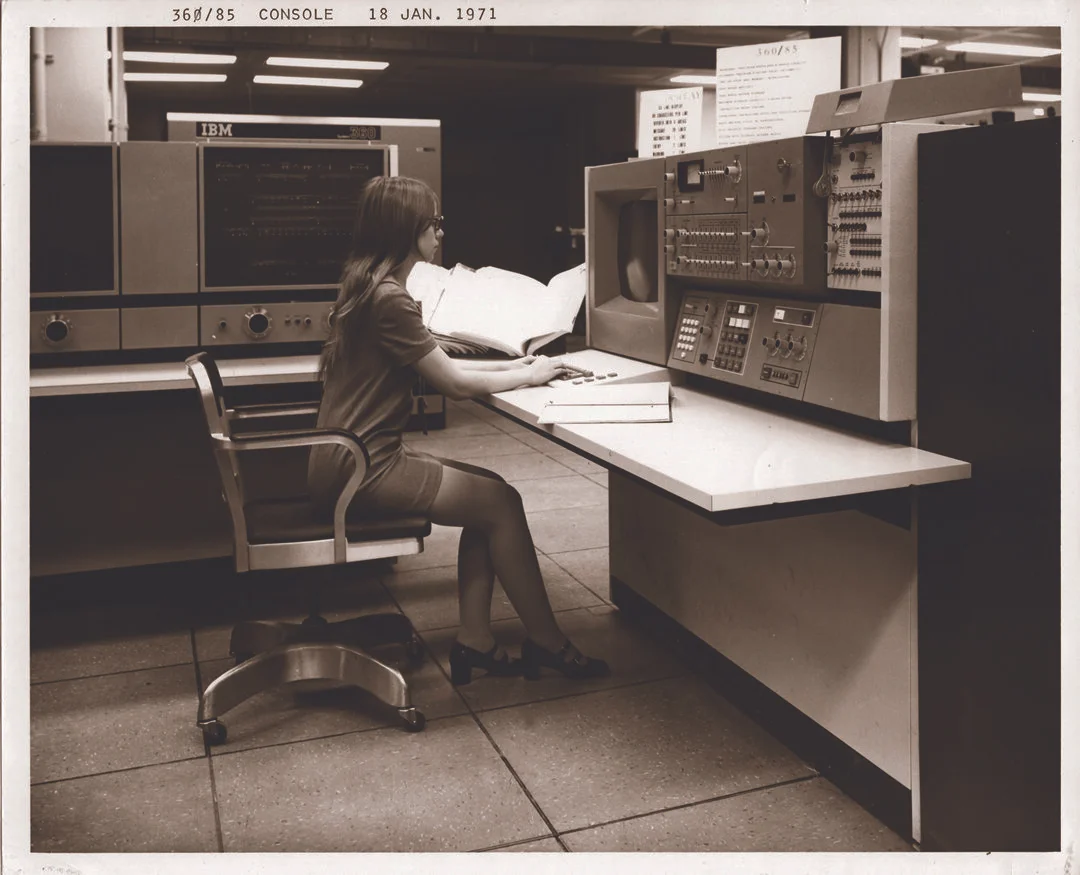
Los Angeles “was one of the first non-federal government agencies to use electromechanical and electronic data processing systems in accomplishment of its day-to-day service rendering tasks… the City now staffs and operates thee solid state computers and four electromechanical data processing installations.”
So what happened to the Community Analysis Bureau — and its promise for social change guided by emerging technology?
The value of the city’s data becomes the Bureau’s own kryptonite. The CAB was so successful at earning grants that the city’s leaders began repurposing its mission, to focus on gathering data to support successful grant applications. Within just a few years, the Bureau, who had pioneered a new approach to utilising city data for public good, had morphed from a transformation engine, to a justification machine.
By 1977, just one decade after it was founded, the Community Analysis Bureau was folded into the new new Community Development Department, as the Community Analysis and Planning Division. Three years later, the “Community Analysis” function was officially retired.
The City of Los Angeles wouldn’t pick up its smart city program again until December 2013, more than half a century after it first applied for funding for a citywide databank.